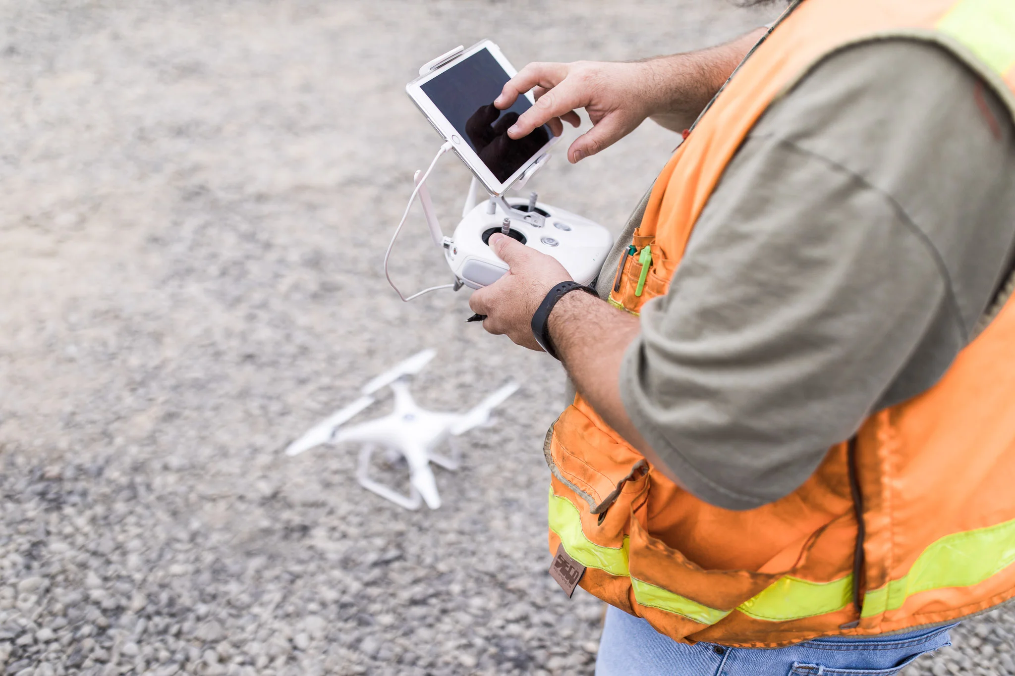

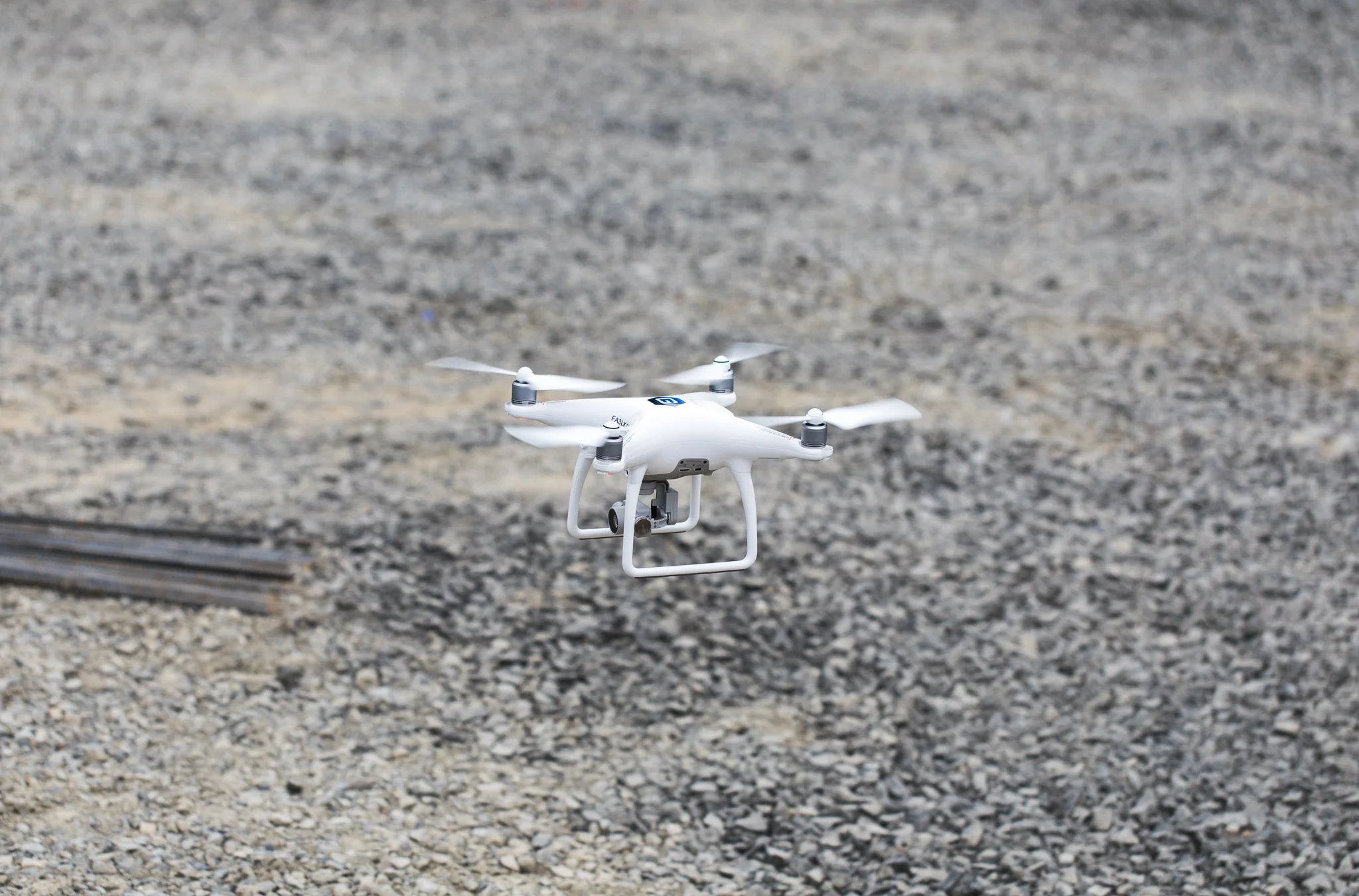
UAS
Small manned aircraft have been used to collect aerial photography since man could fly and Surveyors have used this imagery to obtain planimetric and topographic information for almost as long. Because of the cost of manned flights and manual data processing, aerial mapping was considered feasible for larger projects exclusively.
Now highly detailed aerial imagery is available, and affordable, for any size project by utilizing Small Unmanned Aircraft Systems (UAS) or Drones!
Goldsmith owned unmanned aircraft provide these services:
- Aerial Photography
- Accurate topographic mapping
- Raw video for marketing presentations & feasibility studies
- Repeat flights allow for site comparison
- Progress Reports
- Earthwork quantity takeoffs ect.
- Quick turnaround for flights, data processing, and mapping
- We exclusively use unmodified and commercially available unmanned aircraft
- All Goldsmith pilots hold current FAA Remote Pilot Certifications
- Additionally, they have been certified through our own training and certification process, which includes instruction and hands-on practice in the field.
- Our field surveyors (pilots) can arrive on site, create and locate ground control and fly the mission all in a single day, in most cases.
With our robust training program, fully insured aircraft, and the Goldsmith dedication to flexibility, customer service and quality work, we look forward to using our expertise to facilitate your next project or business decision. Please contact us for availability, and area suitability (FAA designated airspace considerations).